
Playa del Rey Jetty
33.96°N · 118.45°W
Playa del Rey Jetty Fishing Forecast
Updated today
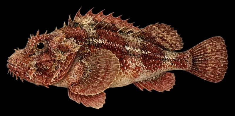
What's biting now around Santa Monica: California Scorpionfish
California Scorpionfish fishing at Playa del Rey Jetty is fair today.
The best time to go is 2 PM to 6 PM, with the tide ebbing.
ReelCaster scores every hour at Playa del Rey Jetty from 0 to 100, reading the tide, current, wind and weather for California Scorpionfish. The higher the score, the better your odds. Green means go.
Pro is free for 7 days: all 14 days, full catch reports and text alerts for Playa del Rey Jetty.
Start free trialEvery spot is scored for today, out of 100. Green is worth the trip, amber is fair, red is slow.
Species
Now 58 · 3 PM PST
14-Day Forecast
Data from: ECMWF + GFS + BlueCaster24-Hour Conditions
All times PST
Tap or drag to read any hourHover or drag to read any hour
Why this score
Current regulations
In effect nowWhat you can keep at this spot today
- Daily limit
- 5 per day
- Possession
- 5 in possession
- Annual quota
- Not published
- Other
- Open year-round, at all depths. No minimum size limit. Also known as sculpin. Part of the groundfish group.
Source: CDFW · Groundfish Management Area Southern · synced today
Seasonality
52-week view · today highlightedWhen California Scorpionfish is best at this spot
SHORE PROFILE
- GETTING THERE
- Park at the Del Rey Lagoon or beach lots off Pacific Ave and walk the sand to the Ballona Creek and Marina del Rey jetty. The rocks are slippery at high tide.
- HOW IT'S FISHED
- Plastic grub on a jighead along the rocks
Nearby Spots
View all on map →Other productive spots within easy run
About Playa del Rey Jetty
Playa del Rey Jetty is a rock jetty on the Santa Monica Bay shoreline in Southern California, with boulder structure running from the beach out into open water. Rockfish hold along the rocks year-round, while Barred Sand Bass peak in March and again from June through August and Kelp Bass run strongest from April through August. California Halibut move through the adjacent sand from March to July, Surfperch peak from December through February, and California Scorpionfish also hold along the rocks. A dropper loop baited with squid, cut mackerel, or shrimp flies works the boulder edges for rockfish, and bait fishing with sand shrimp, mussel, or pile worms targets surfperch in winter. For halibut and sand bass along the sandy margins beyond the rocks, jigging with leadhead swimbaits, soft plastics, or metal jigs covers the transition zone where structure gives way to open bottom.
Playa del Rey Jetty is one of the spots we track around Santa Monica. More spots in Santa Monica · All of California · Do I need a license in Santa Monica?.
Looking for the full interactive map? Open Explore.